
Drone Photography
Aerial photographs make the relationship between a property and its surroundings easy to see. Show the setting, access and views alongside the features on the ground.
From $200Standalone street-address shoot · $125 as an add-on
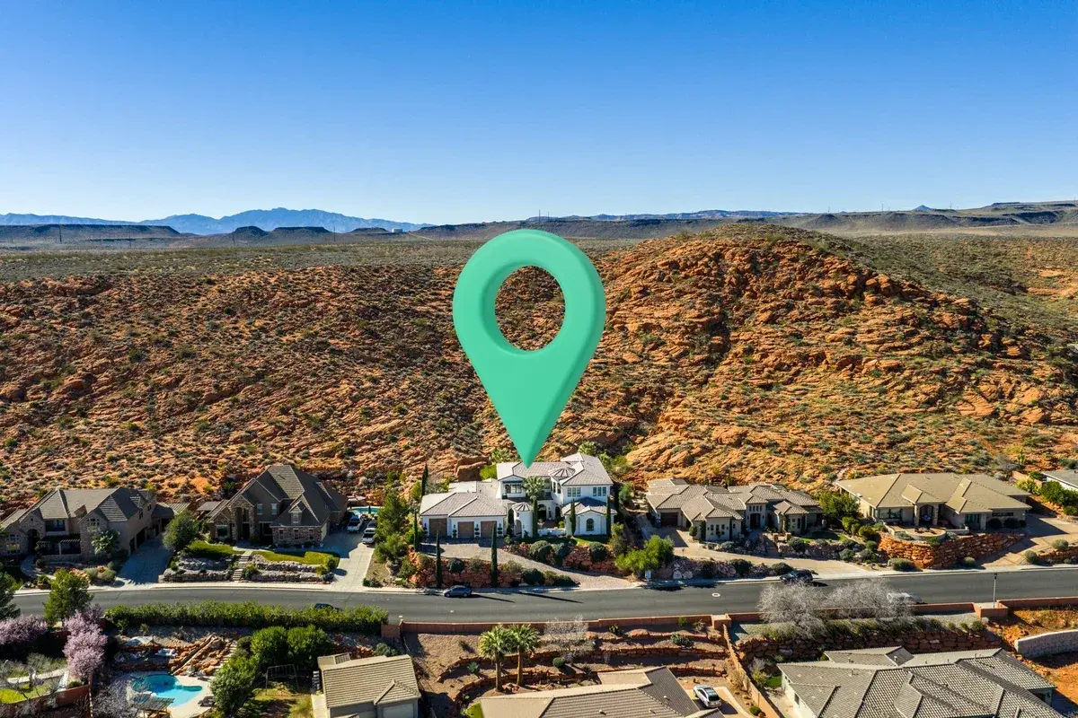
At a glance.
- Aerial views of the property and its surroundings
- Illustrative boundary overlays, GPS pins and graphics included
- Land and acreage pricing is calculated in booking
A wider perspective
For real estate listings, vacation rentals and land, aerial images can show context that an interior photograph cannot: the lot, neighboring landscape and the property’s position within it.
Land without a street address
In the Real Estate booking flow, use a map pin for the property and a separate meeting pin when needed. For land and acreage, outline the estimated shoot area to see the quote update. The outline, acreage and illustrative overlays are not a survey or legal boundary.
Plan the coverage
Use the booking notes to identify the views, access points or features that matter most. The street-address starting price is $200 standalone, including the $75 visit fee, or $125 as an add-on. Land pricing is shown separately in booking.
Know your total before you submit.
Starting prices are before travel. Your property details and selected services determine the itemized quote in booking. Travel is based on round-trip mileage, with 60 total miles included and $0.78 per additional mile.